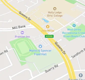
BLOCLEats

M&S Foodhall

Former 400 Queens Drive
Liverpool
L130DJ

Food rating: ★★★★★ 5/5 stars
Updated: 9. January 2020

map for M&S Foodhall

Near M&S Foodhall

  1. Supermarkets
  2. ★★★★★Aldi, L130DL
  3. 0.5 miles★★★★★Tesco Express, L127JB
  4. 0.5 milesMorrisons Daily, L138AG
  5. 0.6 miles★★★★★Iceland, L138AE
  6. 0.6 miles★★★★★Asda, L136RH
  7. 0.6 miles★★★★★The Co-operative, L128QP
  8. 0.7 miles★★★★★Farmfoods, L137EB
  9. 0.7 miles★★★Heron Foods, L138AA
  10. Care Facilities
  11. 0.2 miles★★★★★Sandfield Park Day Nursery, L121LG
  12. 0.2 miles★★★★★Derby House Liverpool, L130BQ
  13. Bars & Nightclubs
  14. 0.1 miles★★★★★The Stag And Rainbow, L130DL
  15. 0.1 miles★★★★★The Jolly Miller, L127JF
  16. Restaurants & Cafés
  17. 0.1 miles★★★★Costa Coffee, L130DL
  18. Retail Stores
  19. 0.1 milesLiverpool Zero Waste Community CIC, L130BW
  20. School Food Ratings
  21. 0.2 miles★★★★★Holly Lodge Girls School, L127LE
  22. 0.3 milesPalmers and Howells Ltd at St Edwards College, L121LF
  23. Schools
  24. 0.2 milesErnest Cookson School, L130BQ (70 pupils)
  25. Schools Primary
  26. 0.3 milesRunnymede St Edward's Catholic Primary School, L121LE (346 pupils)
  27. Schools Secondary
  28. 0.2 milesWest Derby School, L137HQ (1004 pupils)
  29. 0.2 milesHolly Lodge Girls' College, L127LE (977 pupils)
  30. 0.3 milesSt Edward's College, L121LF (1168 pupils)

See all Supermarkets in Liverpool.