BLOCLEats

New Farnley And District Community Association

Low Moor Side
Farnley
Leeds
LS125EA

Food rating: ★★★★ 4/5 stars
Updated: 16. March 2017

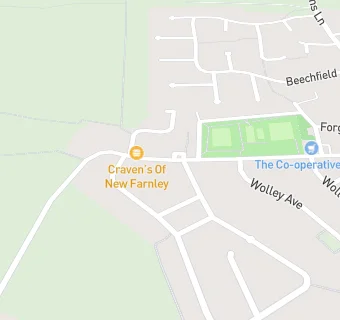
map for New Farnley And District Community Association

Near New Farnley …

  1. Bars & Nightclubs
  2. 0.5 miles★★★★★The Woodcock, LS125HR
  3. 0.9 miles★★★★Nags Head, LS125AQ
  4. 1.0 mile★★★★★The Butterbowl, LS125JQ
  5. 1.0 mile★★★★★Valley Inn, BD111NE
  6. 1.1 miles★★★★★New Inn, LS277AE
  7. 1.2 miles★★★★★Old Griffin Head, LS277ES
  8. 1.2 miles★★★★★Tipsy Calf, LS277JB
  9. 1.2 miles★★★★★William IV, LS124QA
  10. Care Facilities
  11. 0.8 miles★★★★★Manor House Residential Care Home, LS125HA
  12. Restaurants & Cafés
  13. 0.3 miles★★★★New Farnley Cafe And Dining, LS125ES
  14. 0.7 miles★★★★★The Hideout @ Harper Farm, LS126JU
  15. Retail Stores
  16. ★★★★★Late Shop (Co-op Food), LS125EA
  17. 0.8 miles★★★★★Nisa Local, LS125AA
  18. School Food Ratings
  19. 0.6 miles★★★★★The Farnley Academy, LS125EU
  20. 0.8 miles★★★★★Catering Leeds (Lawns Park Primary), LS125EX
  21. Takeaway Shops
  22. ★★★★★Craven's Of New Farnley, LS125EA
  23. Schools
  24. 0.6 milesCore Training and Development limited, LS125JB (19 pupils)
  25. Schools Primary
  26. 0.7 milesLawns Park Primary School, LS125EX (237 pupils)
  27. 0.8 milesCobden Primary School, LS125LA (216 pupils)
  28. 1.1 milesRyecroft Academy, LS125AW (341 pupils)
  29. Schools Secondary
  30. 0.6 milesThe Farnley Academy, LS125EU (1491 pupils)

See all Bars & Nightclubs in Leeds.