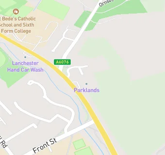
BLOCLEats

Nisa Lanchester

Parklands
Durham Road
Lanchester
Durham
DH70JE

Food rating: ★★★★★ 5/5 stars
Updated: 17. September 2020

map for Nisa Lanchester

Near Nisa Lanchester

  1. Retail Stores
  2. 1.9 miles★★★★★Esso Rontec, DH97RX
  3. 2.3 miles★★★★Holmside Farm Fresh, DH70DR
  4. 3.0 miles★★★★★Snackfully Ltd, DH89HU
  5. 3.1 miles★★★★★A Cut Above Meat Co., DH79EL
  6. 3.4 miles★★★★★Middles Superstore, DH96DJ
  7. 3.4 miles★★★★★Fraser Meats, DH90TB
  8. 3.4 miles★★★★★Starbuys, DH90TB
  9. 3.5 miles★★★★★The Hungry Caterpillar, DH99AH
  10. Food Trucks
  11. 1.1 miles★★★★★Bettys Yorkshires, DH70QT
  12. Restaurants & Cafés
  13. 0.3 miles★★★★★Lanchester Community Cafe and Warm Hub, DH70PB
  14. School Food Ratings
  15. 0.3 miles★★★★★The Bridge (Woodlands Pupil Referral Unit), DH70LG
  16. Chemists
  17. 0.3 milesLanchester Pharmacy, DH70LA
  18. Doctors
  19. 0.2 milesCroft View Surgery, DH70HY
  20. 0.5 milesLanchester Medical Centre, DH70LP
  21. 0.5 milesLanchester Medical Centre, DH70LP
  22. 1.3 milesThe Haven Surgery, DH70BD
  23. Schools Primary
  24. 0.2 milesAll Saints' Catholic Primary School, Lanchester, DH70JG (184 pupils)
  25. 0.2 milesLanchester Endowed Parochial Primary School, DH70HU (460 pupils)
  26. 1.5 milesBurnhope Primary School, DH70AG (87 pupils)
  27. 2.1 milesAnnfield Plain Infant School, DH97UY (96 pupils)
  28. Schools Secondary
  29. 0.2 milesSt Bede's Catholic School and Sixth Form College, Lanchester, DH70RD (1315 pupils)

See all Retail Stores in Lanchester.