Be Local
Eats
/
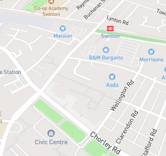
City and Borough of Salford
/
Swinton
→
Retailers - other
Oxfam
Oxfam
17 The Parade
Swinton
M274BH
Food rating: Exempt
Updated:
N/A
Your feedback
+
claim premises
Near Oxfam
Retail Stores
0.2
miles
★★★★
Morrisons Daily Swinton
, M274BT
0.3
miles
Peak Pharmacy
, M274AF
0.4
miles
Crystal Tanning
, M274DU
0.4
miles
★★
Swinton Mini Market
, M276BU
0.5
miles
Tims & Parker
, M278HP
0.6
miles
★★★★
Pendlebury Post Office Shop
, M278UR
0.7
miles
MK Gym
, M282LY
0.8
miles
Peak Pharmacy
, M270EW
Restaurants & Cafés
0.1
miles
★★★★
Asda Cafe
, M274BR
0.1
miles
★★★
Wrappers Cafe
, M274BD
0.1
miles
★★★★
Swinton Pool Hall
, M274BR
0.1
miles
★★★★★
The Agnes Hopkins Community Centre.
, M274BQ
Supermarkets
0.1
miles
★★★★★
ASDA
, M274BR
Chemists
Boots
, M274BH
0.1
miles
Swinton Late Night Pharmacy
, M274BJ
0.2
miles
Peak Pharmacy
, M270NA
Schools
0.2
miles
Chatsworth Futures Limited
, M270WA
0.2
miles
Barton Moss Education Centre
, M275AW
Schools Primary
0.2
miles
The Deans Primary School
, M275TD (442 pupils)
0.2
miles
St Peter's CofE Primary School
, M270WA (230 pupils)
0.3
miles
St Mary's RC Primary School
, M274AS (231 pupils)
See all
Retail Stores in Swinton
.