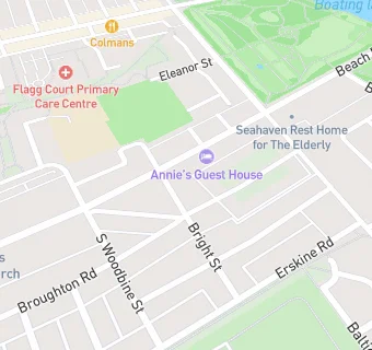
BLOCLEats

Potens

2 Belgrave Terrace
South Shields
Tyne & Wear
NE332RX

Food rating: ★★★★★ 5/5 stars
Updated: 4. March 2016

map for Potens

Near Potens

  1. Care Facilities
  2. ★★★★★St Thomas Complex, NE332RX
  3. ★★★★★Fairholme Care Home, NE332NE
  4. 0.1 miles★★★★★Nursery Time, NE332QT
  5. 0.1 miles★★★★★Beach Hill Nursery, NE332QT
  6. 0.1 miles★★★★★Breakfast Club, NE332RD
  7. 0.1 miles★★★★★Marine Park View Care Home, NE332NN
  8. 0.2 miles★★★★Marine Park Children Centre/Stanleys, NE332LS
  9. 0.5 miles★★★★★Wallace Mews, NE333NW
  10. Hotels & BnBs
  11. ★★★★★Annie's Guest House, NE332NE
  12. Food Trucks
  13. 0.2 milesBeach News, NE332JF
  14. Catering Services
  15. 0.1 miles★★★★★The Beacon Centre, NE332RB
  16. Restaurants & Cafés
  17. 0.1 miles★★★★★Age Concern Tyneside South, NE332QU
  18. 0.2 miles★★★★Eltio, NE332JQ
  19. Retail Stores
  20. 0.1 miles★★★Marine Stores, NE332TE
  21. 0.1 miles★★★★★Ice Cream Kiosk/Mobile, NE332NN
  22. 0.1 miles★★★★★T Minchella Cafe, NE332NN
  23. Schools Primary
  24. 0.1 milesMarine Park Primary School, NE332RD
  25. 0.3 milesWestoe Crown Primary School, NE333NS (657 pupils)
  26. 0.4 milesSt Bede's Catholic Primary School, South Shields, NE334PG (232 pupils)
  27. 0.6 milesHadrian Primary School, NE332BB (274 pupils)
  28. 0.7 milesLaygate Community School, NE334JJ (250 pupils)

See all Care Facilities in South Shields.