BLOCLEats

Radstock Co-operative Society

The Co-operative Food
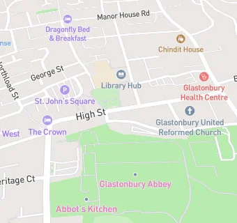
32-34 High Street
Glastonbury
Somerset
BA69DX

Food rating: ★★★★★ 5/5 stars
Updated: 19. June 2012

map for Radstock Co-operative Society

Near Radstock Co-operative …

  1. Supermarkets
  2. 0.2 miles★★★★★Morrisons, BA69ED
  3. 0.7 miles★★★★★Tesco, BA69XE
  4. 1.0 mile★★★★★Aldi Store, BA69FW
  5. 1.9 miles★★★★★Choice Stationery Supplies, BA160EX
  6. 2.2 miles★★★★★Iceland, BA160GX
  7. 2.2 miles★★★★★Sainsburys, BA160HS
  8. 2.3 miles★★★★★Co--operative - Street, BA160LP
  9. 2.3 miles★★★★★Lidl, BA160HW
  10. Manufacturers
  11. ★★★★★Burns The Bread, BA69DU
  12. Catering Services
  13. ★★★★★Buddha Maitreya Soul Therapy Centre, BA69DR
  14. Bars & Nightclubs
  15. ★★★★★Avalon Constitutional Club, BA69DX
  16. Restaurants & Cafés
  17. ★★★★★St Johns Church, BA69DP
  18. ★★★★★Rainbows end cafe Ltd, BA69DP
  19. ★★★★★Coffee Zero, BA69DX
  20. Retail Stores
  21. ★★★★★Glastonbury Incense Ltd, BA69DX
  22. School Food Ratings
  23. ★★★★★St John's Infant School, BA69DR
  24. Schools
  25. 0.7 milesTor School, BA69NS (32 pupils)
  26. 1.3 milesMillfield Preparatory School, BA68LD (474 pupils)
  27. Schools Primary
  28. St John's Church of England Voluntary Controlled Infants School, BA69DR (201 pupils)
  29. 0.2 milesSt Benedict's Church of England Voluntary Aided Junior School, BA69EX (208 pupils)
  30. Schools Secondary
  31. 0.4 milesSt Dunstan's School, BA69BY (459 pupils)

See all Supermarkets in Glastonbury.