BLOCLEats

Railway

The Railway
Station Road
Hinckley
Leicestershire
LE101AP

Food rating: ★★★★★ 5/5 stars
Updated: 14. March 2024

Food ratings

Hygiene: 5
Structural: 5

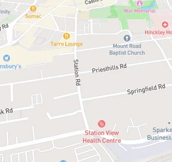
map for Railway

Near Railway

  1. Bars & Nightclubs
  2. 0.2 miles★★★★Princes Feathers, LE100QA
  3. 0.2 miles★★★★The Bounty, LE101NT
  4. 0.2 miles★★★★★Public Spirit, LE100BB
  5. 0.2 miles★★★★★Elbow Room Ale And Cider House, LE101AW
  6. 0.2 miles★★★★★Electric Chapel Ltd, LE100QJ
  7. 0.2 miles★★★★★Baton Rouge, LE100BA
  8. 0.3 miles★★★★★Citizens Club Limited, LE101AE
  9. 0.3 miles★★★★★The Last Roadhouse, LE100JT
  10. Care Facilities
  11. ★★★★★Priesthills Nursery Ltd, LE101AP
  12. 0.1 miles★★★★★Shooting Stars Nurseries, LE101AD
  13. 0.1 miles★★★★★Kingly Croft, LE101AD
  14. Retail Stores
  15. 0.1 milesSuperdrug, LE100QQ
  16. 0.1 milesTK Maxx, LE100QQ
  17. 0.1 miles★★★★★B And M Retail Ltd, LE100PR
  18. Supermarkets
  19. 0.1 miles★★★★★Tesco, LE100PR
  20. Dentists
  21. House Of Dental Station Road, LE101AP
  22. Schools
  23. 0.1 milesR.E.A.L Independent Schools Hinckley, LE101AP (16 pupils)
  24. Schools Primary
  25. 0.2 milesSt Mary's Church of England Primary School, Hinckley, LE101AW (252 pupils)
  26. 0.4 milesSaint Peter's Catholic Primary School, A Voluntary Academy, LE101HJ (206 pupils)
  27. 0.4 milesWestfield Junior School, LE100LT (366 pupils)
  28. 0.5 milesWestfield Infant School, LE100JL (275 pupils)

See all Bars & Nightclubs in Hinckley.