Railway Hotel
Railway Hotel
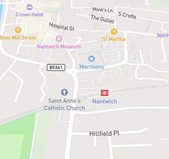
The Railway Hotel
Pillory Street
Nantwich
CW55SSNantwich
Food rating:
★★★★
4/5 stars
Updated:
Food ratings
Confidence in management: 5
Hygiene: 5
Structural: 10
Food rating:
★★★★
4/5 stars
Updated:
Food ratings
Confidence in management: 5
Hygiene: 5
Structural: 10
See all Bars & Nightclubs in Nantwich.