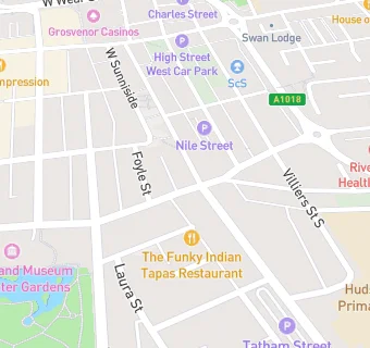
Rays Convenience Stores
Rays Convenience Stores
16A Borough Road
Sunderland
SR11EQFood rating:
★★★★★
5/5 stars
Updated:
Food rating:
★★★★★
5/5 stars
Updated:
See all Retail Stores in Sunderland.