Sainsbury's
Sainsbury's
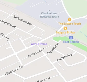
3 Station Terrace
East Boldon
Tyne & Wear
NE360LJTyne & Wear
Food rating:
★★★★★
5/5 stars
Updated:
Food rating:
★★★★★
5/5 stars
Updated:
See all Supermarkets in Sunderland.