BLOCLEats

Sainsbury's

J Sainsbury
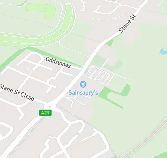
Stane Street Codmore Hill
Pulborough
RH201BQ

Food rating: ★★★★★ 5/5 stars
Updated: 15. February 2022

map for Sainsbury's

Near Sainsbury's

  1. Supermarkets
  2. 0.4 miles★★★★★Tesco Metro, RH201AS
  3. 1.0 mile★★★★North Heath Service Station, RH201DN
  4. 3.9 miles★★★★Storrington Service Station, RH204NH
  5. 4.0 miles★★★★★Waitrose, RH204NQ
  6. 4.4 miles★★★★★Sainsbury's, RH149NY
  7. 4.9 miles★★★★★Lidl, RH149LZ
  8. 5.0 miles★★★★★The Co-operative, GU280AH
  9. 5.4 miles★★★★★Co-Op Welcome, RH203RB
  10. Food Trucks
  11. 0.5 milesThe Little Coffee Shack, RH202AS
  12. Catering Services
  13. 0.2 milesKeisha Kooks, RH201FQ
  14. 0.5 miles★★★★★Pulborough Youth Centre, RH202AN
  15. Bars & Nightclubs
  16. 0.2 miles★★★★★So India, RH201BG
  17. Retail Stores
  18. ★★★★★The Greenhouse, RH201BQ
  19. 0.2 miles★★★★★Coughtreys Butchers, RH201BQ
  20. School Food Ratings
  21. 0.5 miles★★★★★Little Explorers Pre-School, RH202AN
  22. 0.5 miles★★★★★Chartwells at St Marys Church of England School, RH202AN
  23. Schools
  24. 3.2 milesLodge Hill Residential Centre, RH201LZ
  25. Schools Primary
  26. 0.5 milesSt Mary's Church of England Primary School, RH202AN (301 pupils)
  27. 2.4 milesWest Chiltington Community Primary School, RH202JY (191 pupils)
  28. 2.6 milesFittleworth CofE Village School, RH201JB (124 pupils)
  29. 2.7 milesSt James' CofE Primary School, Coldwaltham, RH201LW (73 pupils)

See all Supermarkets in Storrington.