Sainsbury's
Sainsbury's
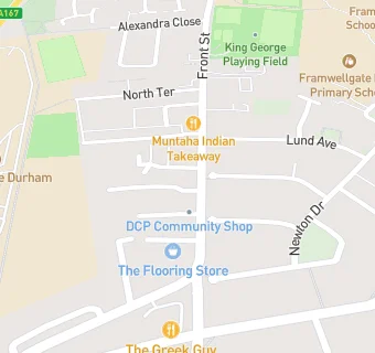
26 Front Street
Framwellgate Moor
Durham
DH15EJFramwellgate Moor
Durham
Food rating:
★★★★★
5/5 stars
Updated:
Food rating:
★★★★★
5/5 stars
Updated:
See all Supermarkets in Durham.