BLOCLEats

Sainsbury's

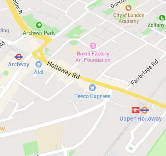
Ground Floor 641 - 643
641-645 Holloway Road
London
N195SS

Food rating: ★★★★★ 5/5 stars
Updated: 17. May 2016

map for Sainsbury's

Near Sainsbury's

  1. Supermarkets
  2. 0.1 miles★★★★★The Co-Operative Food group, N195QT
  3. 0.1 miles★★★★★Aldi, N195SE
  4. 0.2 miles★★★★★Iceland Foods, N195RD
  5. 0.3 miles★★★★★Co-operative Food Group, N193NU
  6. 0.5 miles★★★★★Sainsbury's, N76BQ
  7. 0.6 miles★★★★★Tesco, N194HN
  8. 0.7 miles★★★★★Iceland Foods, N76QA
  9. 0.8 miles★★★★★Lidl, N76QA
  10. Restaurants & Cafés
  11. ★★★★★King Fisher, N195SE
  12. ★★★★Bottega Italia, N195SE
  13. Retail Stores
  14. ★★★★★Phyllo Bakehouse, N195SS
  15. ★★★★★Premier Food Hall, N193JQ
  16. ★★★Naz Organic, N195SS
  17. School Food Ratings
  18. ★★★★★Caterlink @St John's C of E Primary, N195RR
  19. ★★★★★Baxterstorey @ Central St Martin's, N194AG
  20. Chemists
  21. Shivo Chemists, N193JF
  22. Schools
  23. 0.3 milesThe Bridge Satellite Provision, N193DL (48 pupils)
  24. Schools Primary
  25. 0.1 milesSt John's Upper Holloway CofE Primary School, N195RR (208 pupils)
  26. 0.2 milesYerbury Primary School, N194RR (452 pupils)
  27. 0.4 milesHargrave Park Primary School, N195BS (350 pupils)
  28. Schools Secondary
  29. 0.3 milesCity of London Academy, Highgate Hill, N193EU (662 pupils)

See all Supermarkets in Islington.