Sainsbury's
Sainsbury's
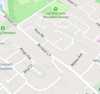
18 Arnold Lane
Gedling
Nottinghamshire
NG44HBNottinghamshire
Food rating:
★★★★★
5/5 stars
Updated:
Food rating:
★★★★★
5/5 stars
Updated:
See all Supermarkets in Nottingham.