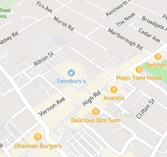
BLOCLEats

Sainsbury's

Stoney Street
Beeston
Nottinghamshire
NG92LA

Food rating: ★★★★★ 5/5 stars
Updated: 21. March 2024

map for Sainsbury's

Near Sainsbury's

  1. Supermarkets
  2. Orientalmart, NG92LE
  3. 0.1 miles★★★★★Lidl, NG92NG
  4. 0.2 miles★★★★★Tesco Extra, NG92WJ
  5. 0.4 miles★★★★★Co-operative, NG91JB
  6. 0.6 miles★★★★★Morrisons Daily, NG92QS
  7. 0.6 miles★★★★★Central England Cooperative Society, NG91DY
  8. 1.9 miles★★★★★Tesco Stores Ltd, NG118NA
  9. 2.0 miles★★★★★Tesco, NG96GX
  10. Bars & Nightclubs
  11. ★★★★★The Jesse Boot, NG92LE
  12. Restaurants & Cafés
  13. ★★★Nosh Restaurant, NG92LF
  14. ★★★★★Coffee N Cream, NG92LE
  15. Retail Stores
  16. Card Factory, NG92LF
  17. ★★★★★JG Barbers Beeston, NG92LE
  18. Takeaway Shops
  19. ★★★★Hing Kee Boba & More, NG92LF
  20. ★★★★★Pizza Hut, NG92LF
  21. Chemists
  22. Jardines Pharmacy, NG92LA
  23. Schools Primary
  24. 0.2 milesRound Hill Primary School, NG91AE (518 pupils)
  25. 0.2 milesJohn Clifford Primary School, NG92AT (389 pupils)
  26. 0.4 milesBeeston Fields Primary School and Nursery, NG92RG (361 pupils)
  27. 0.8 milesThe Lanes Primary School, NG94BB (591 pupils)
  28. 0.9 milesBeeston Rylands Junior School, NG91LJ (185 pupils)

See all Supermarkets in Nottingham.