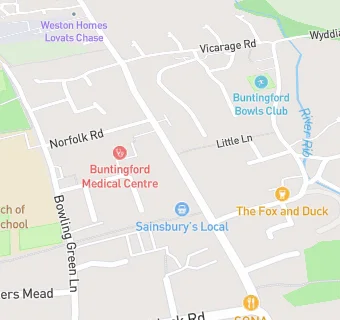
BLOCLEats

Sainsbury's

65-67 High Street
Buntingford
Hertfordshire
SG99AE

Food rating: ★★★★★ 5/5 stars
Updated: 12. April 2024

map for Sainsbury's

Near Sainsbury's

  1. Supermarkets
  2. 0.3 miles★★★★★Co-op Store, SG99HU
  3. 6.5 miles★★★★★Budgens, SG16NH
  4. 6.5 miles★★★★★Highland Group - Greenfelds Service Station, SG89NN
  5. 6.8 miles★★★★★Tesco, SG89JG
  6. 7.0 miles★★★★★Tesco, SG20LU
  7. 7.0 miles★★★★★Sainsbury's Plc, SG27DU
  8. 7.1 miles★★★★★The Co-Operative, SG15RB
  9. 7.2 miles★★★★★Morrisons Daily, SG87AP
  10. Bars & Nightclubs
  11. 0.1 miles★★★★★Buntingford And District Social Club, SG99AS
  12. Restaurants & Cafés
  13. ★★★★★The Buntingford Coffee Shop Ltd, SG99AE
  14. ★★★★★The Falcon Restaurant Limited, SG99AE
  15. Retail Stores
  16. ★★★★M Doel, SG99AE
  17. 0.1 miles★★★★★The Cheese Plate, SG99AQ
  18. 0.1 milesK & M Shah Chemists, SG99AD
  19. Takeaway Shops
  20. The Chippy, SG99AE
  21. 0.1 miles★★★★★King Pizza \& Kebabs, SG99AD
  22. Schools Middle Deemed Secondary
  23. 0.2 milesEdwinstree Church of England Middle School, SG99AW (477 pupils)
  24. Schools Primary
  25. 0.3 milesLayston Church of England First School, SG99EU (146 pupils)
  26. 0.3 milesMillfield First and Nursery School, SG99DT (323 pupils)
  27. 1.0 mileBuntingford First School, SG99HZ (70 pupils)
  28. Schools Secondary
  29. 0.4 milesFreman College, SG99BT (996 pupils)

See all Supermarkets in Buntingford.