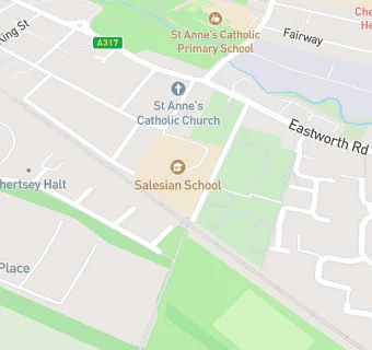
Salesian School 6th Form College
Salesian School 6th Form College
Salesian School Annexe
Highfield Road
Chertsey
KT168BXChertsey
Food rating:
★★★★★
5/5 stars
Updated:
Food rating:
★★★★★
5/5 stars
Updated:
See all School Food Ratings in Chertsey.