BLOCLEats

Salvation Army

Esplanade
Thurso
Caithness
KW148BB

Food rating: Pass
Updated: 10. June 2013

map for Salvation Army

Near Salvation Army

  1. Catering Services
  2. 0.1 milesBydand Licenced Restaurant, KW148EJ
  3. 0.2 milesKW Kitchen, KW147BQ
  4. 0.2 milesStepping Stones, KW148BU
  5. 0.2 milesHolborn Hotel, KW147BQ
  6. 0.2 milesMurray House B&B, KW147HD
  7. 0.2 milesRoyal British Legion, KW148BU
  8. 0.2 milesNew Empire Take away, KW147BQ
  9. 0.3 milesCouthie Corner, KW147JZ
  10. Restaurants & Cafés
  11. 0.1 milesNorth Coast Visitor Centre, KW148AJ
  12. 0.1 milesCafe North, KW148AJ
  13. Retail Stores
  14. 0.2 milesA MacKay & Son, KW148DE
  15. School Food Ratings
  16. 0.3 milesMount Pleasant Primary School, KW148HL
  17. Chemists
  18. 0.1 milesBestway National Chemists Ltd, KW148AG
  19. 0.1 milesLp North Fourteen Ltd, KW148AG
  20. 0.2 milesW H B Sutherland Ltd, KW148EJ
  21. 0.2 milesSutherlands Pharmacy, KW148EJ
  22. Schools
  23. 0.3 milesMount Pleasant Primary School, KW148HL (185 pupils)
  24. 0.4 milesMiller Academy Primary School, KW147DH (267 pupils)
  25. 0.6 milesPennyland Primary School, KW147NY (180 pupils)
  26. 0.8 milesThurso High School, KW147DS (753 pupils)
  27. 4.8 milesCastletown Primary School, KW148UA (82 pupils)

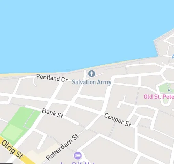
See all Catering Services in Thurso.