Salvation Army
Salvation Army
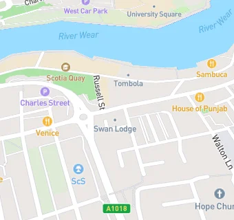
Swan Lodge 8
5 High Street East
Sunderland
SR12AUSunderland
Food rating:
★★★★★
5/5 stars
Updated:
Food rating:
★★★★★
5/5 stars
Updated:
See all Care Facilities in Sunderland.