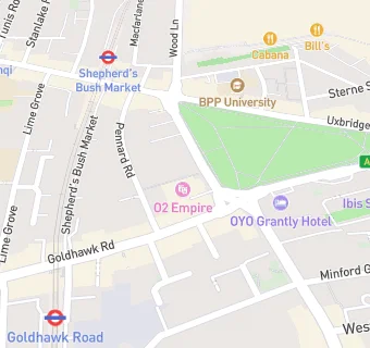
Shepherds Bush Empire
Shepherds Bush Empire
Shepherd's Bush Green
London
W128TTFood rating:
★★★★★
5/5 stars
Updated:
Food rating:
★★★★★
5/5 stars
Updated:
See all Bars & Nightclubs in London.