Shiremoor Community Association
Shiremoor Community Association
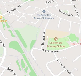
Community Centre
Stanton Road
Shiremoor
Newcastle Upon Tyne
NE270PWShiremoor
Newcastle Upon Tyne
Food rating:
★★★★★
5/5 stars
Updated:
Food rating:
★★★★★
5/5 stars
Updated:
See all Retail Stores in Shiremoor.