Singh Convenience Store And Pharmacy
Singh Convenience Store And Pharmacy
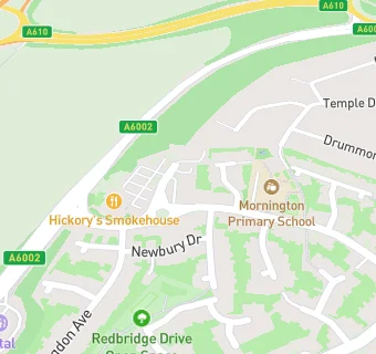
2 Upminster Drive
Nuthall
Nottinghamshire
NG161PTNottinghamshire
Food rating:
★★★★★
5/5 stars
Updated:
Food rating:
★★★★★
5/5 stars
Updated:
See all Retail Stores in Nottingham.