Siorai
Siorai
Ground Floor
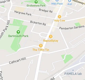
114 Junction Road
London
N195LB114 Junction Road
London
Food rating:
★★★★
4/5 stars
Updated:
Food rating:
★★★★
4/5 stars
Updated:
See all Bars & Nightclubs in Islington.