BLOCLEats

Social bar

Unit 9a
133
Copeland Road
London
SE153SN

Food rating: ★★★★★ 5/5 stars
Updated: 11. July 2018

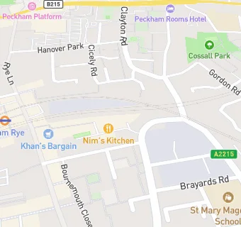
map for Social bar

Near Social bar

  1. Restaurants & Cafés
  2. ★★★★★Eastern bloc, SE153SN
  3. 0.1 miles ★★★★★Forza wine, SE154BQ
  4. 0.1 miles ★★★★★Hanar, SE154ST
  5. 0.1 miles ★★★★★Frank's cafe and campari bar, SE154ST
  6. 0.1 miles ★★★★★Little baobab, SE154ST
  7. 0.1 miles ★★★★Deserted cactus, SE154ST
  8. 0.1 miles ★★★★★Fat boys on tour, SE154ST
  9. 0.1 miles ★★★Alyan cofee(t/a sky shopping cafe), SE154ST
  10. Bars & Nightclubs
  11. ★★★★★Jumbi, SE153SN
  12. Eko brewery limited, SE153SN
  13. Retail Stores
  14. 0.1 miles ★★★★★Cornerhouse cafe, SE154BQ
  15. 0.1 miles ★★★★★Greek kitchen, SE154BQ
  16. Takeaway Shops
  17. ★★★Nim's kitchen, SE153SN
  18. 0.1 miles ★★★★★Hao hao chi, SE154ST
  19. 0.1 miles ★★★★★The carpet shop, SE154ST
  20. Dentists
  21. 0.1 miles Ph Dental Practice, SE154RX
  22. Schools
  23. 0.3 miles Cherry Garden School, SE155BB (88 pupils)
  24. Schools Nursery
  25. 0.3 miles Nell Gwynn Nursery School, SE152TT (99 pupils)
  26. Schools Primary
  27. 0.2 miles St Mary Magdalene Church of England Primary School, SE153RA (100 pupils)
  28. 0.3 miles John Donne Primary School, SE152SW (395 pupils)
  29. 0.4 miles Bellenden Primary School, SE154JP (214 pupils)