Spread Eagle
Spread Eagle
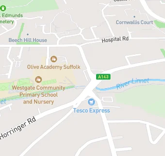
Out Westgate
Bury St Edmunds
Suffolk
IP332DESuffolk
Food rating:
★★★★★
5/5 stars
Updated:
Food ratings
Hygiene: 5
Structural: 5
Food rating:
★★★★★
5/5 stars
Updated:
Food ratings
Hygiene: 5
Structural: 5
See all Bars & Nightclubs in Bury St Edmunds.