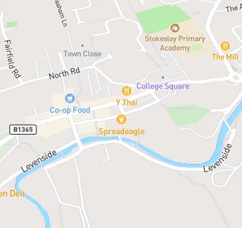
BLOCLEats

Spread Eagle

39 High Street
Stokesley
TS95AD

Food rating: ★★★★★ 5/5 stars
Updated: 7. February 2024

map for Spread Eagle

Near Spread Eagle

  1. Bars & Nightclubs
  2. ★★★★★Queens Head, TS95AD
  3. 0.1 miles★★★★★Brass Monkey Stokesley, TS95BQ
  4. 0.2 miles★★★★★Stokesley Masonic Hall Limited, TS95BD
  5. 0.2 miles★★★★★The White Swan, TS95BL
  6. 1.9 miles★★★★★The Wainstones Hotel, TS97EW
  7. 1.9 miles★★★★★The Black Swan, TS97AW
  8. 2.0 miles★★★★★The Kings Head Hotel, TS95LU
  9. 2.1 miles★★★★★The Jet Miners Inn, TS97EF
  10. Hotels & BnBs
  11. ★★★★★The Leven Hotel, TS95AD
  12. Restaurants & Cafés
  13. ★★★★★Pistachio, TS95AA
  14. ★★★★★Costa Coffee, TS95AD
  15. ★★★★★Panda Restaurant, TS95AA
  16. ★★★★★The Bank in Stokesley, TS95AD
  17. Chemists
  18. Boots, TS95DQ
  19. Dentists
  20. Alpha Dental Great Ayton, TS95AD
  21. Archway Dental Care, TS95AD
  22. Schools Primary
  23. 0.2 milesStokesley Primary Academy, TS95EW (258 pupils)
  24. 1.9 milesKirkby and Great Broughton Church of England Voluntary Aided Primary School, TS97AL (133 pupils)
  25. 2.4 milesMarwood Church of England Voluntary Controlled Infant School, Great Ayton, TS96NN (54 pupils)
  26. 2.8 milesCarlton and Faceby Church of England Voluntary Aided Primary School, TS97BB (56 pupils)
  27. Schools Secondary
  28. 0.4 milesStokesley School, TS95AL (1072 pupils)

See all Bars & Nightclubs in Stokesley.