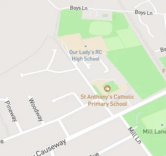
St Anthonys Social Centre
St Anthonys Social Centre
St Anthonys Annexe
St Anthonys Drive
Preston
PR23SQPreston
Food rating:
★★★★★
5/5 stars
Updated:
Food rating:
★★★★★
5/5 stars
Updated:
See all Bars & Nightclubs in Fulwood.