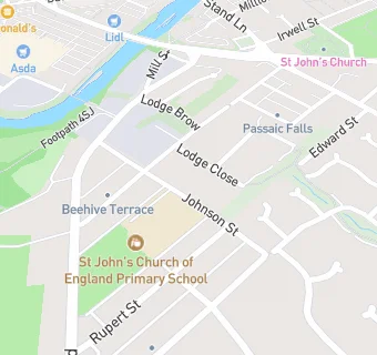
St John's Church of England Primary School
St John's Church of England Primary School
Johnson Street
Radcliffe
Greater Manchester
M261AWRadcliffe
Greater Manchester
Food rating:
★★★★★
5/5 stars
Updated:
Food rating:
★★★★★
5/5 stars
Updated:
See all School Food Ratings in Radcliffe.