St Joseph's Hospice
St Joseph's Hospice
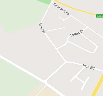
Ince Road
Thornton
Liverpool
L234UEThornton
Liverpool
Food rating:
★★★★★
5/5 stars
Updated:
Food rating:
★★★★★
5/5 stars
Updated:
See all Care Facilities in Crosby.