BLOCLEats

St. Lukes Church

St Lukes and Christ Church
Sydney Street
LONDON
SW36NH

Food rating: ★★★★★ 5/5 stars
Updated: 5. January 2024

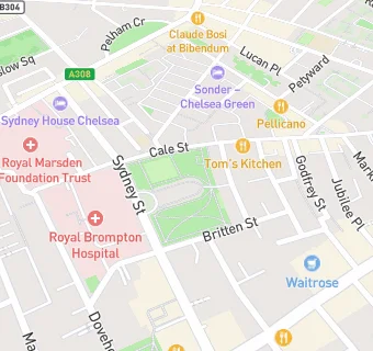
map for St. Lukes Church

Near St. Lukes …

  1. Logistics Providers
  2. 1.0 mile ★★★★★Response Community Projects Food Bank, SW59JF
  3. 1.1 miles Pure Chicken, SW118EG
  4. 1.1 miles ★★★★★Quick Commerce Limited (t/a Zapp), SW50RR
  5. 1.2 miles Peppa Pig Battersea, SW118BU
  6. 1.3 miles ★★★★★The Jar - Healthy Vending, SW113RH
  7. 1.3 miles H Krupa Wholesale LTD, SW113RH
  8. 1.4 miles ★★★★★Chef's Choice Fruit and Produce Ltd, SW83NS
  9. 1.4 miles ★★★★★Vita London Ltd, SW83NS
  10. Restaurants & Cafés
  11. ★★★★★Cafe Portico, SW36NH
  12. 0.1 miles ★★★★★Amar Cafe, SW33QS
  13. 0.1 miles ★★★★★Villa Mamas, SW33NT
  14. Retail Stores
  15. 0.1 miles ★★★★★Paxton and Whitfield, SW33QU
  16. 0.1 miles ★★★★★The Chelsea Fishmonger, SW33QU
  17. 0.1 miles ★★★★★The Chelsea Food & Wine Company Ltd, SW33QU
  18. 0.1 miles ★★★★★St Giles Pantry, SW33PY
  19. Takeaway Shops
  20. 0.1 miles ★★★★★Pie Man Food Company, SW33QU
  21. Schools
  22. 0.2 miles Institute of Cancer Research, SW36JB
  23. 0.2 miles Francis Holland Preparatory School, SW36NB (68 pupils)
  24. Schools Nursery
  25. 0.3 miles Chelsea Open Air Nursery School, SW35JE (64 pupils)
  26. Schools Primary
  27. 0.1 miles Oratory Roman Catholic Primary School, SW36QH (211 pupils)
  28. 0.2 miles Marlborough Primary School, SW33AP (386 pupils)