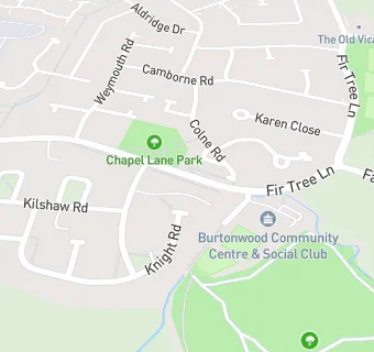
St Michaels Parish Hall
St Michaels Parish Hall
Chapel Lane
Warrington
WA54PYWarrington
Food rating:
★★★★★
5/5 stars
Updated:
Food rating:
★★★★★
5/5 stars
Updated:
See all Bars & Nightclubs in Burtonwood.