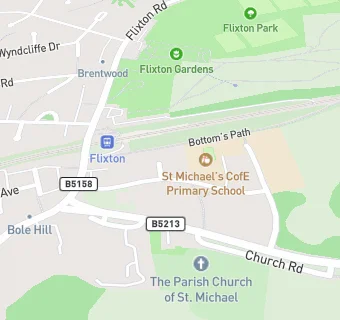
St Michaels Primary School
St Michaels Primary School
St. Michaels C Of E School
The Grove
Urmston
Manchester
M416JBUrmston
Manchester
Food rating:
★★★★★
5/5 stars
Updated:
Food rating:
★★★★★
5/5 stars
Updated:
See all School Food Ratings in Urmston.