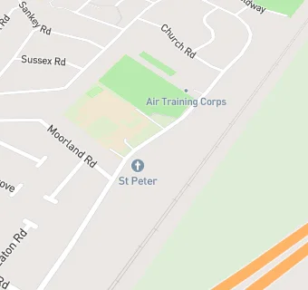
St Peter's Church Hall
St Peter's Church Hall
Moorhey Road
Maghull
Liverpool
L315LUMaghull
Liverpool
Food rating:
★★★★★
5/5 stars
Updated:
Food rating:
★★★★★
5/5 stars
Updated:
See all Care Facilities in Maghull.