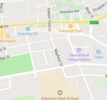
St Richards Parish Centre
St Richards Parish Centre
Mayfield Street
Atherton
Manchester
M460AQManchester
Food rating:
★★★★★
5/5 stars
Updated:
Food rating:
★★★★★
5/5 stars
Updated:
See all Bars & Nightclubs in Atherton.