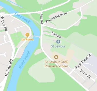
BLOCLEats

St Saviour

St Saviour Church Of England
Fold Road
Stoneclough Radcliffe
Bolton
M261FT

Food rating: ★★★★★ 5/5 stars
Updated: 7. March 2017

map for St Saviour

Near St Saviour

  1. Restaurants & Cafés
  2. 0.1 miles★★★★La Roma Restaurant, M261GT
  3. 0.7 miles★★★★★Clifton Country Park Visitor Centre Cafe, M276NG
  4. 0.8 miles★★★★★The Farm Shop, BL48RU
  5. 1.2 milesFootball Club, BL31TH
  6. 1.5 miles★★★★★Rhode Island Coffee, M261RH
  7. 1.5 miles★★★★★McDonalds Restaurants Ltd, M263DA
  8. 1.5 miles★★★The Kitchen @, BL49DS
  9. 1.5 miles★★★★★Starbucks@ Asda Radcliffe, M263DA
  10. Care Facilities
  11. 0.3 miles★★★★★Wells House Kindergarten, M261FS
  12. 0.7 miles★★★★★Y2K Kidz Klub Ltd, BL48PB
  13. Bars & Nightclubs
  14. 0.6 milesKwality Hotel Limited, M261GF
  15. 1.0 mileClifton Cricket Club, M276NB
  16. Retail Stores
  17. 1.0 mileThe Dessert Corner, BL48LA
  18. Takeaway Shops
  19. 0.5 miles★★★★★John McLaren, M261GG
  20. 0.5 miles★★★★★DD's Food Bar, M261GG
  21. Doctors
  22. 1.0 mileKearsley Medical Centre, BL48EP
  23. Schools Primary
  24. 0.1 milesSt Saviour CofE Primary School, Ringley, M261EU (209 pupils)
  25. 0.7 milesSt Stephen's CofE Primary School, BL48PB (190 pupils)
  26. 0.7 milesPrestolee Primary School, M261HJ (256 pupils)
  27. 0.7 milesSpindle Point Primary School, BL48SE (236 pupils)
  28. 1.2 milesMytham Primary School, BL31JG (368 pupils)

See all Restaurants & Cafés in Kearsley.