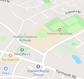
BLOCLEats

Stalham High School

Brumstead Road
Stalham
Norfolk
NR129DG

Food rating: ★★★★★ 5/5 stars
Updated: 6. December 2024

map for Stalham High School

Near Stalham High …

  1. School Food Ratings
  2. 0.4 miles★★★★★Stalham Infant & Junior Schools, NR129PS
  3. 1.0 mile★★★★★Sutton C of E Infant Academy, NR129QP
  4. 1.2 miles★★★★★Sutton Pre-School, NR129RB
  5. 2.2 miles★★★★★All Saints School, NR120DJ
  6. 2.5 miles★★★★East Ruston Area Infant School, NR129JD
  7. 2.6 miles★★★★★Catfield Primary Academy, NR295DA
  8. 3.8 miles★★★★★Neatishead & Barton Pre-school, NR128XN
  9. 3.8 miles★★★★★How Hill Trust, NR295PG
  10. Logistics Providers
  11. ★★★★★Stalham Local Co-Ordination Centre, NR129DG
  12. Catering Services
  13. 0.1 miles★★★★★Scrumptious Home Bakes, NR129AU
  14. Bars & Nightclubs
  15. 0.1 miles★★★★★Cooks Taverns Ltd, NR129AU
  16. 0.1 miles★★★★★The Grebe, NR129BB
  17. Retail Stores
  18. 0.1 miles★★★★★Newlands Newsagents, NR129AU
  19. 0.1 miles★★★★★Tesco Stalham CR, NR129AE
  20. 0.1 milesMunch Box Too, NR129AZ
  21. Supermarkets
  22. 0.1 miles★★★★★Tesco Supermarket, NR129AE
  23. Schools
  24. 1.3 milesThe Stables Independent School, NR129EU (18 pupils)
  25. Schools Primary
  26. Stalham Infant School and Nursery, NR129PS (87 pupils)
  27. 0.4 milesStalham Academy, NR129PS (230 pupils)
  28. 1.0 mileSutton Church of England Infant Acdemy, NR129QP
  29. Schools Secondary
  30. Stalham High School, NR129DG (482 pupils)

See all School Food Ratings in Stalham.