Standon And Puckeridge Community Centre
Standon And Puckeridge Community Centre
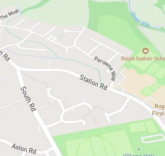
Station Road
Puckeridge
Ware
Hertfordshire
SG111TFWare
Hertfordshire
Food rating: Exempt
Updated:
Food rating: Exempt
Updated:
See all Bars & Nightclubs in Puckeridge.