State Fayre
State Fayre
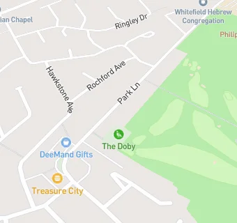
83 Park Lane
Whitefield
Manchester
M457HLWhitefield
Manchester
Food rating:
★★★★★
5/5 stars
Updated:
Food ratings
Confidence in management: 5
Hygiene: 5
Structural: 5
Food rating:
★★★★★
5/5 stars
Updated:
Food ratings
Confidence in management: 5
Hygiene: 5
Structural: 5
See all Restaurants & Cafés in Whitefield.