BLOCLEats

Sunderland Association Football Club Limited

Stadium Of Light Admin Building Stadium Park
Vaux Brewery Way
Sunderland
SR51SU

Food rating: ★★★★★ 5/5 stars
Updated: 27. March 2024

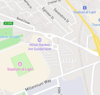
map for Sunderland Association Football Club Limited

Near Sunderland Association …

  1. Restaurants & Cafés
  2. 0.1 miles★★★★★Fausto Acqua, SR51SN
  3. 0.2 miles★★★★★Vito's Osteria, SR51BA
  4. 0.2 miles★★★Tesco Staff Canteen, SR60BW
  5. 0.2 miles★★★Yard 9, SR51SN
  6. 0.2 miles★★★★★Deep North, SR51BA
  7. 0.2 miles★★★★★Tarantino's, SR51AD
  8. 0.2 miles★★★★★Tesco Customer Cafe (Tesco Family Dining), SR60DA
  9. 0.2 miles★★★Jai Thai Take Away & Cafe, SR60BY
  10. Care Facilities
  11. 0.1 miles★★★★★Albany House, SR51EL
  12. Hotels & BnBs
  13. 0.1 miles★★★★★Hilton Garden Inn, SR51SU
  14. Catering Services
  15. 0.2 miles★★★★★Salvation Army Luncheon Club, SR60BY
  16. Bars & Nightclubs
  17. 0.1 miles★★★★Colliery Tavern, SR51EQ
  18. 0.2 miles★★★★★The Victory, SR51AH
  19. Retail Stores
  20. 0.1 miles★★★★★Kopernik, SR51AH
  21. 0.2 milesAvenue Pharmacy, SR51AD
  22. School Food Ratings
  23. 0.1 miles★★★★★Siblings Nursery, SR51SU
  24. Schools
  25. 0.2 milesBeacon of Light School, SR51SN
  26. Schools Primary
  27. 0.3 milesGrange Park Primary School, SR51EA (242 pupils)
  28. 0.4 milesDame Dorothy Primary School, SR60EA (216 pupils)
  29. 0.5 milesRedby Academy, SR69QP (281 pupils)
  30. 0.7 milesSt Benet's Roman Catholic Voluntary Aided Primary School, SR69QU (338 pupils)

See all Restaurants & Cafés in Sunderland.