BLOCLEats

Superdrug

28a High Street
Leatherhead
KT228AW

Food rating: ★★★★★ 5/5 stars
Updated: 26. January 2016

map for Superdrug

Near Superdrug

  1. Retail Stores
  2. 0.4 miles★★★★★Coffee Supplies Direct , Stormbrew, KT227AG
  3. 0.4 milesJewson Ltd, KT227ES
  4. 0.5 miles★★★★★Nikki Newsagent, KT229AL
  5. 0.5 miles★★★★★Rontec Kingscroft ServiceStation, KT227SP
  6. 0.5 miles★★★JD Food and Wine Ltd, KT227SR
  7. 0.6 miles★★★★★TPM Grocery Ltd, KT227BZ
  8. 1.4 miles★★★★★F Conisbee & Son, KT229TP
  9. 1.5 milesHarris News & Post Office, KT212DB
  10. Care Facilities
  11. ★★★★★Fairfield Day Centre, KT228AH
  12. Bars & Nightclubs
  13. ★★★★★Edmund Tylney, KT228AW
  14. ★★★★Dukes Head, KT228AG
  15. 0.1 miles★★★★★Penny Black, KT227AX
  16. Restaurants & Cafés
  17. ★★★★Piazza Firenze, KT228AG
  18. Takeaway Shops
  19. ★★★★Cock a Doodle Dough, KT220JP
  20. Chemists
  21. Boots, KT228AH
  22. Dentists
  23. Idh Limited, KT228AW
  24. Schools
  25. 0.3 milesSt John's School, KT228SP (853 pupils)
  26. 0.4 milesWoodlands School, KT228RY (107 pupils)
  27. 0.4 milesLittle Downsend Leatherhead, KT228ST (214 pupils)
  28. Schools Primary
  29. 0.4 milesLeatherhead Trinity School and Nursery, KT227BP (362 pupils)
  30. Schools Secondary
  31. 0.7 milesSt Andrew's Catholic School, KT227JP (1574 pupils)

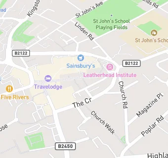
See all Retail Stores in Leatherhead.