BLOCLEats

Sweeney's (Formerly Budgens)

High Street
Wendover
Buckinghamshire
HP226EA

Food rating: ★★★★★ 5/5 stars
Updated: 25. July 2024

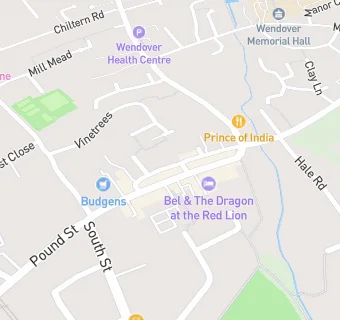
map for Sweeney's (Formerly Budgens)

Near Sweeney's (Formerly …

  1. Supermarkets
  2. 0.3 miles ★★★★★Tesco, HP226NU
  3. 3.4 miles ★★★★★Asda Stores, HP218BD
  4. 3.5 miles ★★★★★Co-op Food, HP217ET
  5. 3.5 miles ★★★★★Sainsbury's, HP217ES
  6. 4.0 miles ★★★★★The Midcounties Co-operative, HP219JL
  7. 4.0 miles Budgens-Mandeville Road, HP218AG
  8. 4.1 miles ★★★★★Marks & Spencer Simply Food, HP235BN
  9. 4.3 miles ★★★★★Sainsbury's, HP201LL
  10. Bars & Nightclubs
  11. ★★★★★The White Swan, HP226EA
  12. Restaurants & Cafés
  13. ★★★★★Whitewaters Cafe Deli, HP226EP
  14. ★★★★★Istanbul Meze & Grill, HP226DU
  15. ★★★★★Rumsey's Handmade Chocolates, HP226EA
  16. Retail Stores
  17. Lloyds Pharmacy, HP226EA
  18. ★★★★The Bakers Shop, HP226EB
  19. Takeaway Shops
  20. ★★★★★Wendover Grill and Kebabs, HP226EA
  21. Dentists
  22. Smile Design Dental Practice, HP226DU
  23. Schools
  24. 0.4 miles Chiltern Way Academy, HP226NL (265 pupils)
  25. Schools Primary
  26. 0.3 miles The John Hampden School, HP226HF (288 pupils)
  27. 0.4 miles Wendover Church of England Junior School, HP226HF (354 pupils)
  28. 0.9 miles Halton Community Combined School, HP225PN (202 pupils)
  29. Schools Secondary
  30. 0.3 miles John Colet School, HP226HF (1107 pupils)