BLOCLEats

Taddington And Priestcliffe Church Of England

School Lane
Taddington
Derbyshire
SK179TW

Food rating: ★★★★★ 5/5 stars
Updated: 24. May 2023

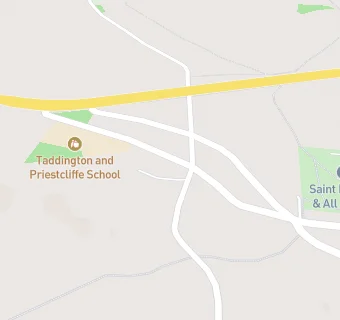
map for Taddington And Priestcliffe Church Of England

Near Taddington And …

  1. School Food Ratings
  2. 1.6 miles★★★★★Flagg Nursery School, SK179QT
  3. 3.0 miles★★★★★Litton Church Of England Aided Primary School, SK178QU
  4. 3.0 miles★★★★★Monyash Church Of England Voluntary Controlled, DE451JH
  5. 3.0 miles★★★★★Bishop Pursglove Church Of England Voluntary, SK178NE
  6. 3.7 miles★★★★★Great Longstone Church Of England Voluntary, DE451TZ
  7. 3.9 miles★★★★★Earl Sterndale Church Of England Voluntary, SK170BS
  8. 4.4 miles★★★★★Peak Dale Primary School, SK178AP
  9. 4.5 miles★★★★★Fairfield Endowed Junior, SK177NA
  10. Hotels & BnBs
  11. 1.6 miles★★★★★Youth Hostel Association, SK178SS
  12. 2.2 miles★★★★★Knotlow Farm, SK179QP
  13. Catering Services
  14. 1.5 miles★★★★★Lane End Farm Trust, SK179HS
  15. Bars & Nightclubs
  16. 0.4 miles★★★★★Queens Arms, SK179UD
  17. 1.3 miles★★★★★The Anglers Rest, SK178SN
  18. 1.7 miles★★★★★Church Inn, SK179SL
  19. 2.3 milesCressbrook Institute And Social Club, SK178SY
  20. Retail Stores
  21. 1.0 mile★★★★★Beech Croft Farm Caravan Park, SK179TQ
  22. Schools Nursery
  23. 1.8 milesFlagg Nursery School, SK179QT (57 pupils)
  24. Schools Primary
  25. 0.1 milesTaddington and Priestcliffe School, SK179TW (68 pupils)
  26. 2.9 milesLitton CofE Primary School, SK178QU (47 pupils)
  27. 3.0 milesMonyash CofE Primary School, DE451JH (41 pupils)
  28. 3.1 milesBishop Pursglove CofE (A) Primary School, SK178NE (87 pupils)

See all School Food Ratings in Buxton.