BLOCLEats

Temple

Former Queens Social Club
Queens Road
Highfield
Sheffield
S24DG

Food rating: ★★★★★ 5/5 stars
Updated: 4. July 2023

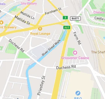
map for Temple

Near Temple

  1. Bars & Nightclubs
  2. 0.1 miles★★★★★Farm Road Sports & Social, S22TP
  3. 0.2 miles★★★★★Bamboo Door, S14RJ
  4. 0.4 miles★★★★★Zephys Venue, S24QU
  5. 0.4 miles★★★★★Cricketers, S24RD
  6. 0.5 miles★★★★★Boom Battle Bar, S14PA
  7. 0.5 miles★★★★★Trades & Labour Club, S25QQ
  8. 0.5 miles★★★★★Bar Public Limited, S12LH
  9. 0.5 miles★★★★★Graduate, S12LH
  10. Care Facilities
  11. 0.2 miles★★★★★Sheffield Nursery, S22RL
  12. Restaurants & Cafés
  13. 0.2 miles★★★★★City College Shop, S22RL
  14. Retail Stores
  15. 0.2 miles★★★★★Spar, S24AF
  16. 0.2 milesGo Local Extra, S14SS
  17. School Food Ratings
  18. 0.2 miles★★★★★All Saints Roman Catholic School, S22RJ
  19. 0.2 miles★★★★★Sheffield City College, S22RL
  20. Chemists
  21. 0.2 milesShoreham Pharmacy, S14SS
  22. Doctors
  23. 0.2 milesShoreham Street Surgery, S14SS
  24. Schools
  25. 0.2 milesSeven Hills School, S22RJ (224 pupils)
  26. 0.3 milesWillow Park School, S22RU
  27. 0.3 milesHeritage Park School, S22RU (92 pupils)
  28. Schools 16 Plus
  29. 0.2 milesThe Sheffield College, S22RL
  30. Schools Secondary
  31. 0.3 milesAll Saints' Catholic High School, S22RJ (1387 pupils)

See all Bars & Nightclubs in Sheffield.