The Albany
The Albany
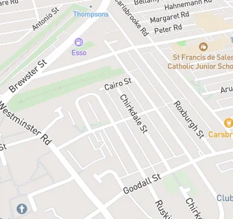
110 Ruskin Street
Liverpool
L43SLFood rating:
★★★★★
5/5 stars
Updated:
Food ratings
Confidence in management: 5
Hygiene: 5
Structural: 5
Food rating:
★★★★★
5/5 stars
Updated:
Food ratings
Confidence in management: 5
Hygiene: 5
Structural: 5
See all Bars & Nightclubs in Liverpool.