The Albion
The Albion
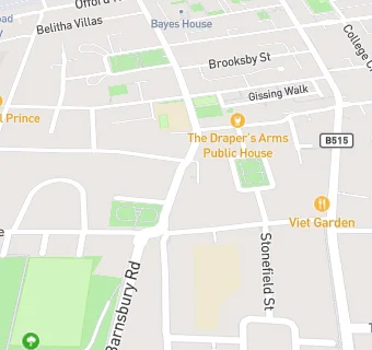
10 Thornhill Road
London
N1 1HW
N11HWLondon
N1 1HW
Food rating:
★★★★★
5/5 stars
Updated:
Food rating:
★★★★★
5/5 stars
Updated:
See all Bars & Nightclubs in Islington.