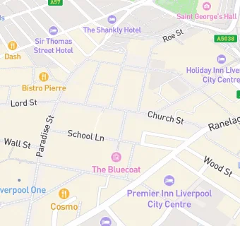
BLOCLEats

The Athenaeum

16A Church Alley
Liverpool
L13DD

Food rating: ★★★★★ 5/5 stars
Updated: 16. October 2018

map for The Athenaeum

Near The Athenaeum

  1. Bars & Nightclubs
  2. ★★★★★Roxy Lanes School Lane, L13AQ
  3. ★★★★Carnarvon Castle, L11DS
  4. ★★★★★Old Post Office, L13DH
  5. 0.1 miles★★★★★Motel, L14AR
  6. 0.1 miles★★★★★The Globe, L11HW
  7. 0.1 miles★★★★★Fusion, L14AR
  8. 0.1 miles★★★★★Brass Monkey, L13DA
  9. 0.1 miles★★Roxy Ballroom (Cavern Quarter), L26PX
  10. Catering Services
  11. 0.1 miles★★★★★Lane7 Liverpool, L11QR
  12. Restaurants & Cafés
  13. ★★★★★Lizzies Snacks, L11DS
  14. 0.1 miles★★★★★Hey Farina, L11EF
  15. 0.1 miles★★★★★Antonietta Gelato & Cioccolato, L11EF
  16. Retail Stores
  17. ★★★★★Greggs (Primark), L13AY
  18. 0.1 miles★★★★★DUNKIN', L11LH
  19. Takeaway Shops
  20. 0.1 miles★★★★★Lobster Pot, L11JW
  21. 0.1 miles★★★★Subway, L16EG
  22. Schools
  23. 0.4 milesLiverpool John Moores University, L35UX
  24. Schools 16 Plus
  25. 0.4 milesThe City of Liverpool College, L35TP
  26. Schools Primary
  27. 0.4 milesSt Vincent de Paul Catholic Primary School, L15BY (225 pupils)
  28. 0.4 milesPleasant Street Primary School, L35TS (231 pupils)
  29. 0.5 milesHoly Cross Catholic Primary School, L32DU (222 pupils)

See all Bars & Nightclubs in Liverpool.