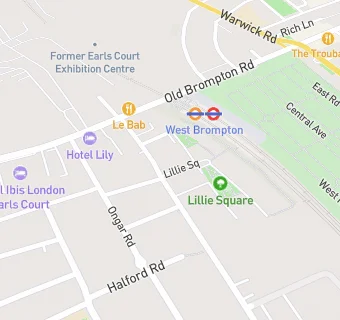
BLOCLEats

The Atlas

16 Seagrave Road
London
SW61RX

Food rating: ★★★★★ 5/5 stars
Updated: 17. May 2023

Food ratings

Hygiene: 5
Structural: 5

map for The Atlas

Near The Atlas

  1. Bars & Nightclubs
  2. 0.1 miles★★★★★Utter Waffle LTD, SW61TU
  3. 0.1 miles★★★★★The Lillie Langtry, SW61UE
  4. 0.1 miles★★★★★The Prince, SW61TU
  5. 0.3 miles★★★★★The Pembroke, SW59JA
  6. 0.3 miles★★★★★Harwood Arms, SW61QP
  7. 0.3 miles★★★★★Wolfpack Fulham, SW61AY
  8. 0.3 milesYogis, SW109ED
  9. 0.3 miles★★★★★Teds Place, W149NS
  10. Restaurants & Cafés
  11. ★★★★★The Brompton Deli, SW61RP
  12. 0.1 miles★★★★★Temaki Bros, SW61TU
  13. Retail Stores
  14. ★★★★★London Drinks Hub/The Night Spirit, SW61RP
  15. 0.1 miles★★★★★The Hoarder, SW61TS
  16. 0.1 miles★★★★★Pedal Back Cycling, SW61TS
  17. Takeaway Shops
  18. 0.1 miles★★★★★Morning Neighbour, SW61TU
  19. Doctors
  20. 0.1 miles82 Lillie Road Surgery, SW61TN
  21. 0.1 milesNorth Fulham Surgery, SW61TN
  22. Schools Primary
  23. 0.2 milesFulham Primary School, SW61JU (187 pupils)
  24. 0.3 milesSt Cuthbert with St Matthias CofE Primary School, SW59UE (135 pupils)
  25. 0.4 milesNormand Croft Community School for Early Years and Primary Education, W149PA (198 pupils)
  26. 0.5 milesBousfield Primary School, SW50DJ (430 pupils)
  27. Schools Secondary
  28. 0.3 milesThe London Oratory School, SW61RX (1393 pupils)

See all Bars & Nightclubs in London.