The Birkey
The Birkey
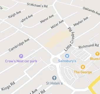
35 Cooks Road
Crosby
Merseyside
L232TBCrosby
Merseyside
Food rating:
★★★★★
5/5 stars
Updated:
Food rating:
★★★★★
5/5 stars
Updated:
See all Bars & Nightclubs in Crosby.