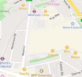
BLOCLEats

The Bull

Unit 1033
Westfield London Shopping Centre
Ariel Way
London
W127GA

Food rating: ★★★★★ 5/5 stars
Updated: 10. September 2024

map for The Bull

Near The Bull

  1. Bars & Nightclubs
  2. 0.1 miles★★★★★Defectors Weld, W128AA
  3. 0.2 miles★★★★★The Broadcaster, W127FX
  4. 0.2 miles★★★★★Little Moons, W127HT
  5. 0.2 miles★★★★★The Green Public House, W127JP
  6. 0.2 miles★★★★★The White Horse, W128LH
  7. 0.3 miles★★★★★Stewart Arms PH, W114TR
  8. 0.3 miles★★★★★The Hawks Nest-Sugo, W128DF
  9. 0.3 miles★★★★★Belushi's, W128PH
  10. Restaurants & Cafés
  11. ★★★★★Gourmet Burger Kitchen, W127GB
  12. ★★★★★Byron, W127GF
  13. ★★★★★Morty And Bobs, W127GE
  14. ★★★★★Nandos, W127GF
  15. ★★★★★EL&N London, W127GD
  16. ★★★★★Rosa's Thai White City, W127GB
  17. Retail Stores
  18. ★★★★Nubar Clije, W127GE
  19. Supermarkets
  20. ★★★★★Marks & Spencer, W127GA
  21. Schools
  22. 0.1 milesLondon Vocational Ballet School, W128AP (49 pupils)
  23. 0.4 milesCatch22 Include London, W106TH (25 pupils)
  24. Schools Primary
  25. 0.2 milesSt Stephen's CofE Primary School, W128LH (441 pupils)
  26. 0.3 milesMiles Coverdale Primary School, W128JJ (218 pupils)
  27. 0.4 milesSaint Francis of Assisi Catholic Primary School, W114BJ (174 pupils)

See all Bars & Nightclubs in London.