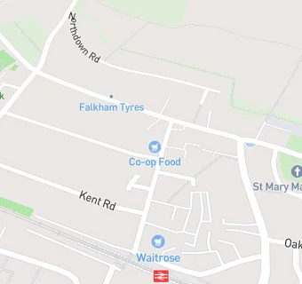
BLOCLEats

The Co-operative

14 Station Road
Longfield
Kent
DA37QH

Food rating: ★★★★★ 5/5 stars
Updated: 25. July 2023

Food ratings

Hygiene: 5
Structural: 5

map for The Co-operative

Near The Co-operative

  1. Supermarkets
  2. 0.1 miles★★★★★Waitrose, DA37QA
  3. 0.1 miles★★★★★Morrisons Daily, DA37QA
  4. 1.1 miles★★★★★The Co-operative, DA38DS
  5. 2.2 miles★★★★★The Co-operative, DA38JB
  6. 2.3 miles★★★★★CO-OP, DA139JF
  7. 2.4 miles★★★★★The Co-Operative, DA101AZ
  8. 2.4 miles★★★★★The Co-operative, DA49FF
  9. 2.5 miles★★★★★The Co-operative, DA27JY
  10. Bars & Nightclubs
  11. ★★★★★Railway Tavern, DA37QD
  12. Retail Stores
  13. ★★★★★Shell Longfield (Mace Convenience Store), DA37QD
  14. ★★★★★Longfield Village Butcher, DA37QD
  15. ★★★★★Longfield Wine Merchant, DA37QD
  16. Takeaway Shops
  17. New Loon Fung Chinese Takeaway, DA37QD
  18. ★★★★Longfield Kebab House, DA37QD
  19. ★★★★Sher-E-Bangla, DA37QD
  20. Doctors
  21. Jubilee Medical Centre, DA37QD
  22. Schools
  23. 0.6 milesSteephill School, DA37BG (126 pupils)
  24. 0.8 milesRowhill School, DA37PW (164 pupils)
  25. Schools Primary
  26. 0.9 milesLangafel Church of England Voluntary Controlled Primary School, DA37PW (323 pupils)
  27. 1.0 mileLeigh Academy Hartley, DA38BT (449 pupils)
  28. Schools Secondary
  29. 0.3 milesLongfield Academy, DA37PH (998 pupils)

See all Supermarkets in Hartley.